News

Weather
Posted: Jan 20, 2026 12:23 PMUpdated: Jan 21, 2026 1:50 PM
UPDATED: 8-12 Inches of Snow Possible Friday, Saturday

Nathan Thompson
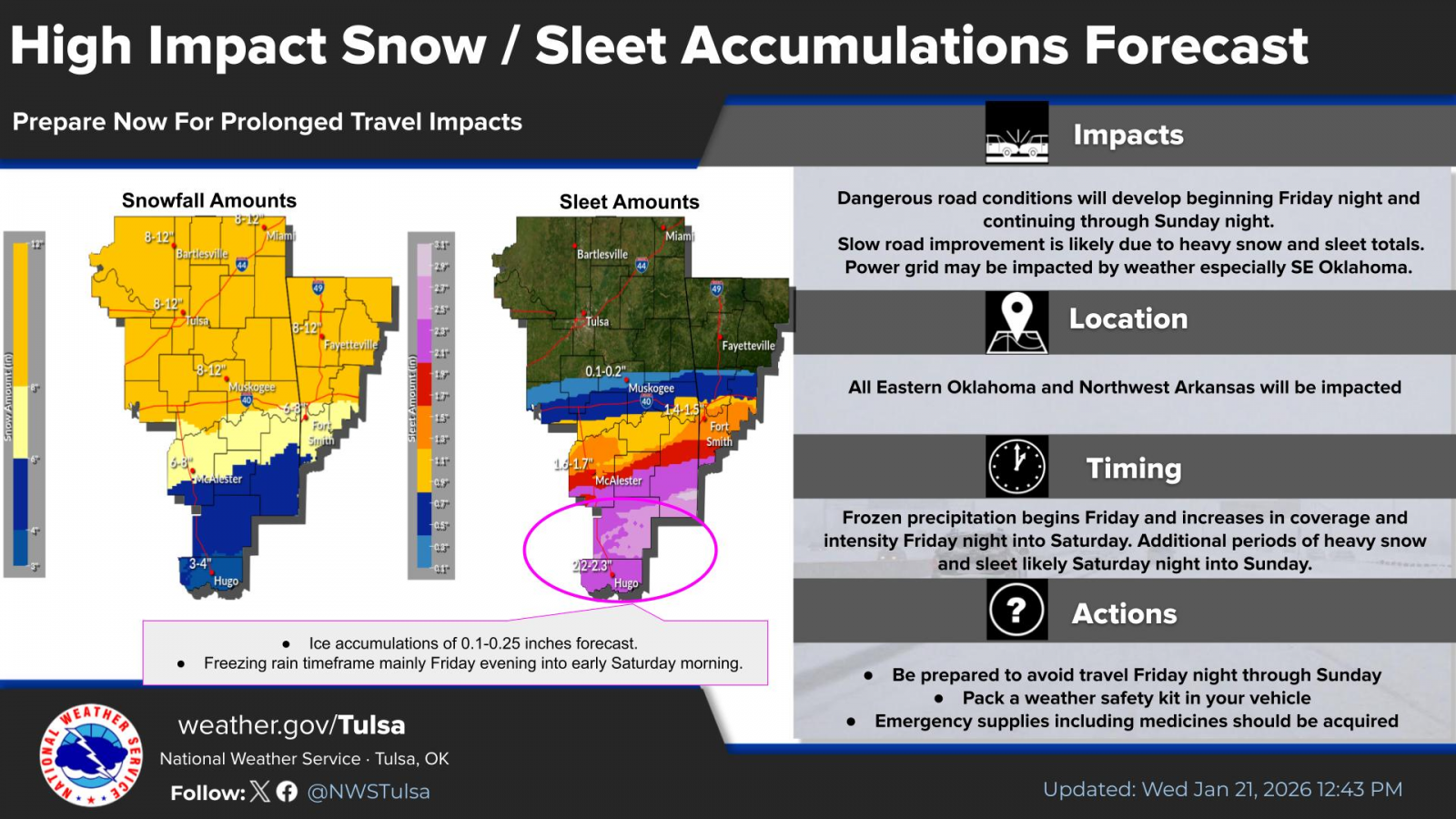
UPDATE: The National Weather Service has increased the forecasted snow amounts for the listening area to 8-12 inches. An Extreme Cold Watch is also in effect from Saturday through Sunday.
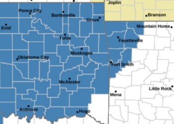
PREVIOUS STORY: The National Weather Service has issued a Winter Storm Watch ahead of Friday's expected arctic air.
The watch is in effect from Friday afternoon through late Saturday night.
The National Weather Service Office in Tulsa says total snow accumulations of 4 or more inches are likely across portions of eastern Oklahoma with a glaze of ice possible near the Red River along with accumulating sleet and snow. Winds could also gust near 35 mph during the day Friday.
In addition to the precipitation, dangerously cold temperatures and wind chills are expected from Friday evening through Sunday morning. The National Weather Service says travel could be very difficult. The hazardous conditions could impact the Friday evening commute and travel through the weekend.
UPDATED SNOW FORECAST AS OF 1-21-2026
« Back to News